
Confirming the launch, a senior Isro official told
TOI
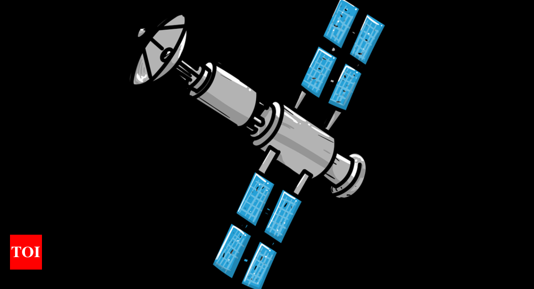
that NVS-01 will replace the IRNSS-1G satellite, which was put into orbit on April 28, 2016.
To meet the “positioning, navigation and timing” requirements of the nation, Isro has established the regional navigation satellite system called Navigation with Indian Constellation (NavIC), which was earlier known as Indian Regional Navigation Satellite System (IRNSS).
IRNSS-1G was among the several satellites — IRNSS-1A, 1B, 1C, 1D, 1E, 1F, IG, 1H (unsuccessful mission) and 1I (the last successful launch in 2018) — launched by Isro to complete the constellation of navigation satellites. Currently, NavIC provides two types of services — standard position service for civilian purpose and restricted service for strategic users like security forces.
NavIC was originally designed with a constellation of seven satellites and a network of ground stations operating 24×7. Three satellites of the constellation are placed in geostationary orbit and four in inclined geosynchronous orbit. The NavIC coverage area includes India and a region up to 1,500 km beyond the country’s boundary. NavIC signals are designed to provide user position accuracy better than 20m and timing accuracy better than 50ns (nano seconds). NavIC SPS signals are interoperable with the other global navigation satellite system (GNSS) signals of GPS (US), Glonass (Russia), Galileo (Europe) and BeiDou (China).
NavIC was conceived with the aim of stopping dependence on foreign satellite systems for navigation service requirements, particularly for “strategic sectors”. Relying on systems like GPS may not always be reliable, as those are operated by the defence agencies of respective countries and it is possible that these navigation services or their data can be denied to India due to various reasons like what happened during the Kargil War.
Also, the Modi government wants to encourage its ministries to use NavIC applications to promote local industry engaged in developing indigenous NavIC-based solutions.


